Nihon University Sewer & Water Mains
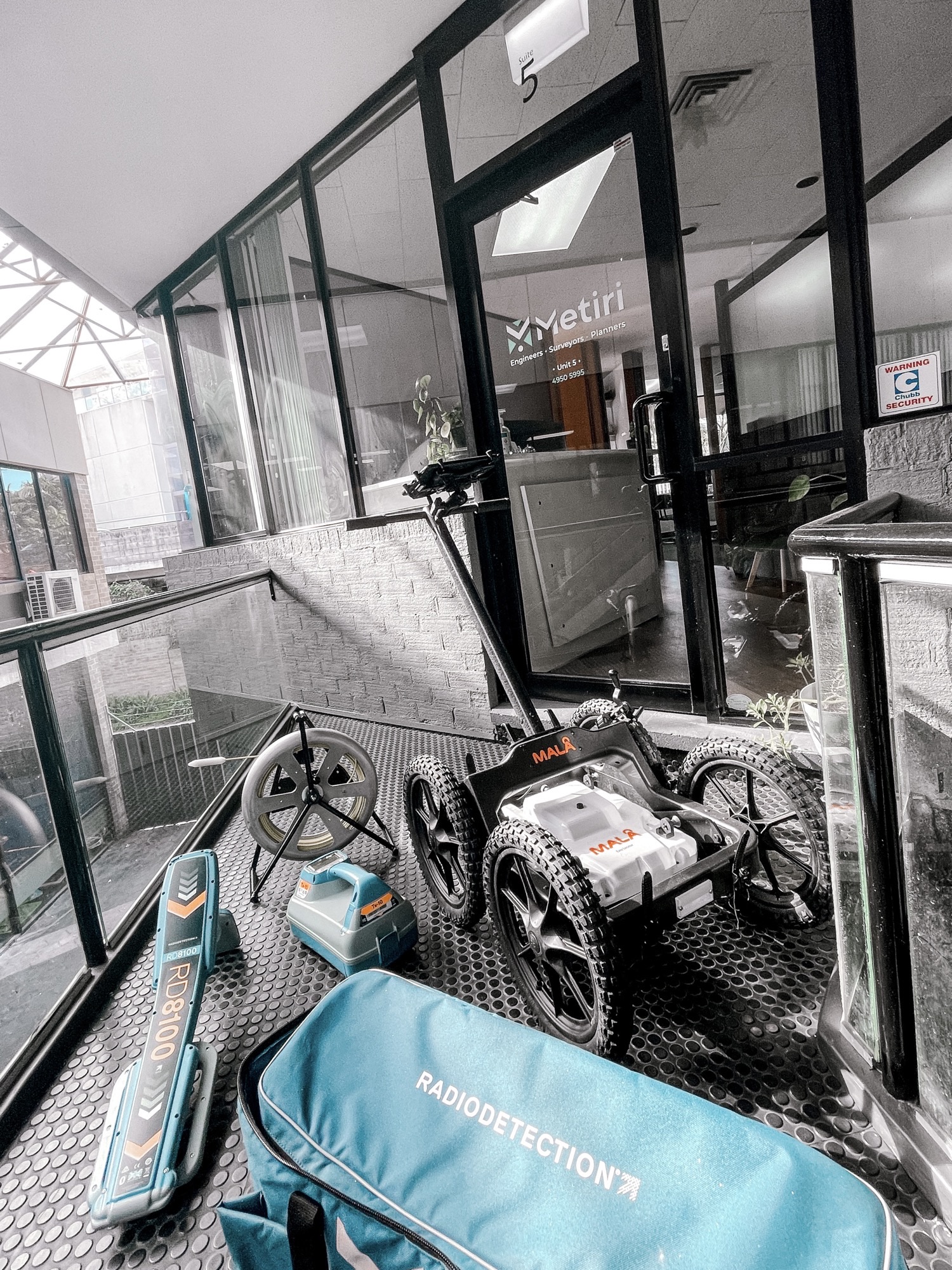
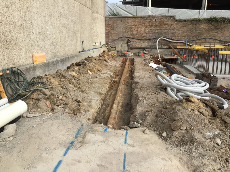
Metiri was engaged as the Hunter Water accredited design consultant responsible for the sewer and water main upgrade works associated with the Nihon University, Newcastle ...

54 Lot Community Title Subdivision, Charmhaven
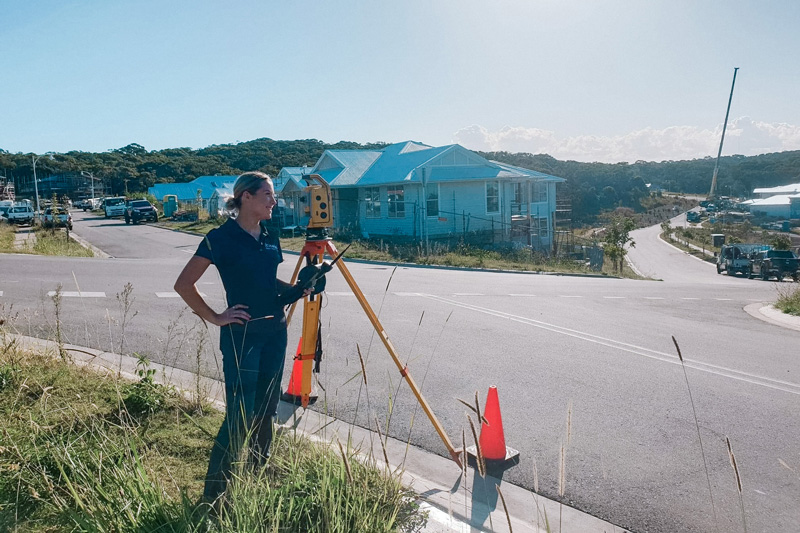
Metiri was engaged for the survey and engineering design works associated with a 54 lot community title subdivision in Charmhaven.
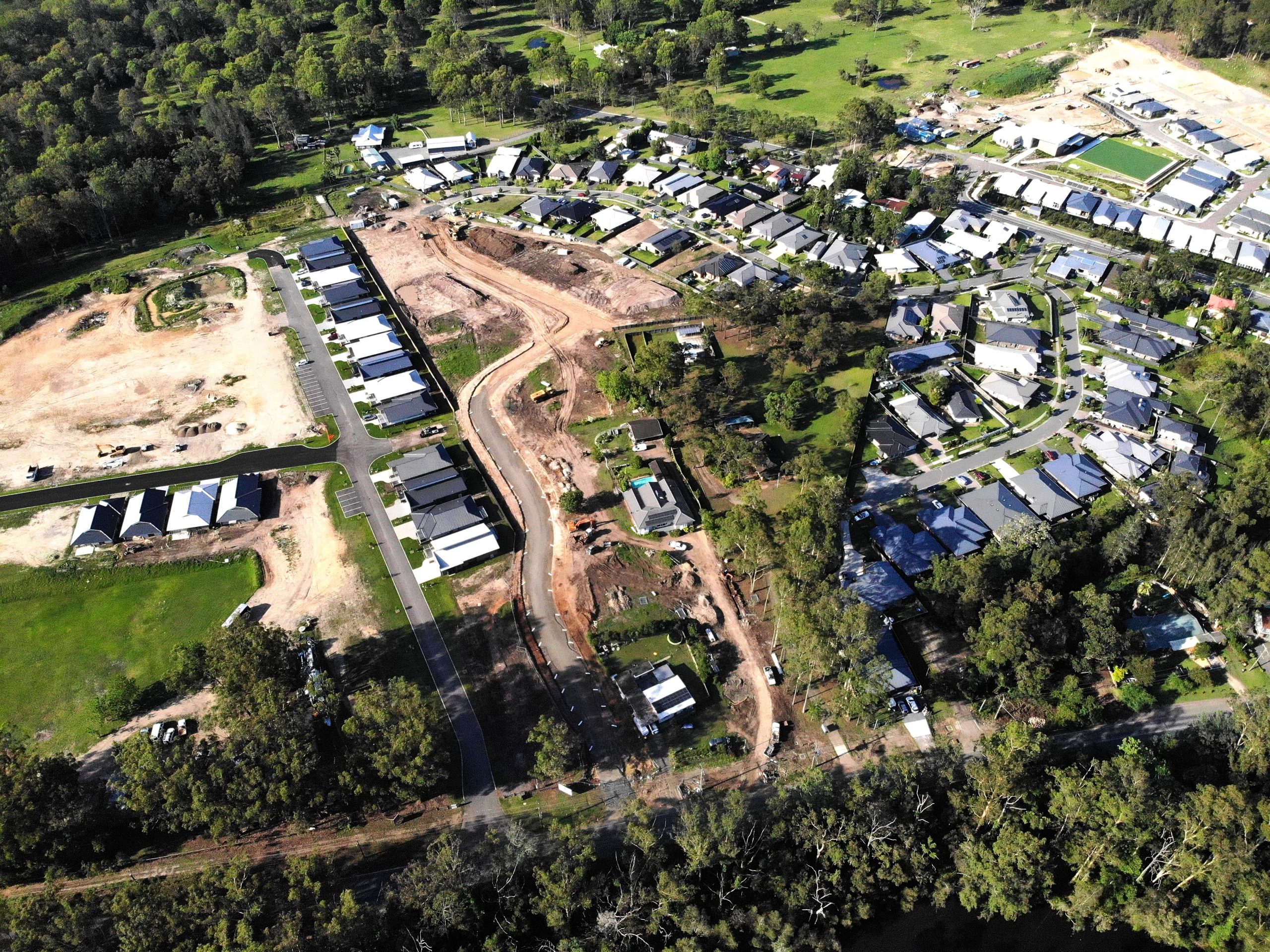
Allambie Grove Estate, Morisset
Metiri was engaged for the survey and engineering design works associated with stages 4-12 (53 lots) of the Allambie Grove Estate torrens title subdivision project ...
The Knolls Estate, Cooranbong
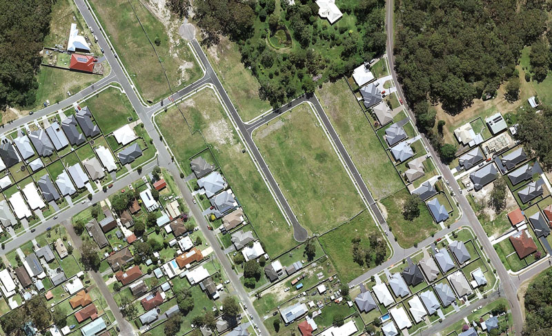
Metiri was engaged for the survey and engineering design works associated with stages 8-9 (30 lots) of the Knolls Estate torrens title subdivision project in ...

Glendore Public School Open Space Upgrades
Metiri was engaged for the survey and engineering design works associated with the Glendore Public School (Maryland) open space upgrades project.
Cooranbong to Morisset Shared Path
Metiri was engaged for survey and engineering design works associated with the Cooranbong to Morisset shared path project.
Fishery Point Road/Morisset Park Road Intersection Upgrade
Metiri was engaged as the principal consultant for the planning, investigations, and design stage of the Fishery Point Road/Morisset Park Road (Bonnells Bay) intersection upgrade ...
Wyee Road/Alliance Avenue Intersection Upgrade
Metiri was engaged as the principal consultant for the planning, investigations, and design stage of the Wyee Road/Alliance Avenue (Morisset) intersection upgrade project for Lake ...