
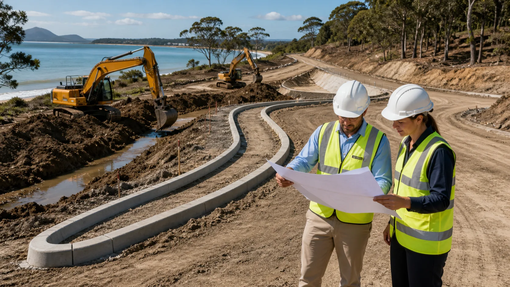
Buildable Sites Begin with Smarter Civil Design
Civil works design in Port Stephens turns an approved idea into a site that can be safely built. While a development plan may show proposed lots, roads, buildings or open spaces, it does not always explain exactly how those features will sit on the land. Our civil design work fills in those practical details, from levels and drainage to access, earthworks and service connections.
For projects across Port Stephens, the details matter early. Coastal and low-lying locations, sloping blocks, existing infrastructure, drainage paths and approval conditions can all shape what is possible on site. In October, it is also a sensible time to review drainage, erosion controls and construction sequencing before the region’s wetter summer storm period arrives.
A clear civil design package shows contractors how the work is intended to happen on the ground. It brings together:
- Earthworks, including cut, fill and retaining needs
- Roads, driveways, access points and finished levels
- Stormwater drainage and overland flow management
- Utility corridors, connection points and service clearances
- Construction notes, set-out information and specifications
By coordinating surveying, engineering, planning and utility investigations early, we can help you spot issues before machinery reaches the site. That can mean fewer surprises during construction and a clearer path from concept to completed works.
Start with Accurate Site Conditions and Constraints
Good design starts with knowing what is already there. Before we set levels or draw drainage lines, we need reliable information about the land, neighbouring properties, built features and visible site constraints. Assumptions made at this stage can flow through the whole project, so accurate site intelligence is worth getting right.
Our land surveys can capture details such as boundaries, contours, existing buildings, roads, trees, drainage structures and visible service assets. This information gives the project team a dependable base for working out building pad levels, driveway grades and how proposed works relate to adjoining land.
No two Port Stephens sites behave in exactly the same way. A site may have steep changes in level, a narrow access point, low-lying areas that collect water, bushfire considerations or environmentally sensitive land nearby. Coastal conditions and local drainage paths can also affect how a development needs to be planned. Rather than treating these conditions as standard problems, we assess how they apply to the specific block and proposed works.
Underground utilities deserve the same attention. Utility locating and records searches can help identify water, sewer, gas, electricity and communications infrastructure before a design is finalised. Knowing where these assets sit can reduce excavation risks, avoid clashes and prevent a proposed pipe, retaining wall or driveway from landing in the wrong place.
Shape Earthworks, Access and Levels for Construction
Once the site is understood, we translate survey information into a practical arrangement of levels and grades. This is where a broad layout begins to take physical form. Building areas need stable pads, vehicles need workable access, and water needs a controlled path away from structures.
Cut and fill design considers how much material must be excavated, retained, reused on site or brought in. A balanced approach can reduce unnecessary truck movements and support a more efficient construction sequence. It also helps us consider how proposed roads, driveways and outdoor areas will meet the natural shape of the land.
Finished surface levels do more than make a site look neat. They need to support several jobs at once:
- Direct water away from buildings and usable spaces
- Create practical grades for driveways, roads and parking areas
- Allow accessible paths of travel where required
- Connect sensibly with neighbouring land and existing infrastructure
- Support access for emergency vehicles, waste collection and construction equipment
Construction access also needs planning before work begins. We consider where vehicles can enter, turn, load and operate without creating unsafe conflicts or damaging existing assets. On larger subdivisions or infrastructure works, staging may be needed so access, drainage and services continue to function as each part of the project is built.
Design Drainage That Protects Land and Neighbours
Stormwater is one of the biggest influences on buildable site design. Effective drainage is not simply a matter of adding a few pits and pipes. We need to understand where water naturally moves across the property, what catchments feed into the site and where water can safely leave after the works are complete.
Proposed buildings, roads and paved areas can change the way runoff behaves. Our designs consider overland flow paths, discharge points and the risk of sending water towards neighbouring land. The right approach depends on the site’s levels, soil conditions, development scale and relevant authority requirements.
Drainage solutions may include swales, kerbs, pits, pipes, detention systems, water quality measures and legal drainage connections. Each element needs to work with the rest of the design. A pipe route, for example, may affect road pavement, service trenches, retaining walls or the level of a building pad.
Spring rainfall can be a useful reminder that construction-stage controls matter too. Disturbed soil can move quickly during heavy rain, especially where slopes or bare earth are involved. Civil documentation should set out appropriate erosion and sediment controls, stabilised access points, temporary drainage measures and site management requirements. These controls help keep sediment on site while works are underway.
Coordinate Services Before Construction Starts
Water, sewer, stormwater, electricity and communications services need room to function alongside roads, drainage and structures. Service design is not something to leave until late in the process. If corridors, depths, clearances and connection points are not considered early, conflicts can appear once the design is already well advanced.
Our coordinated approach brings civil works and utility information together so that proposed infrastructure can be arranged in a practical sequence. This may involve checking the relationship between service trenches, drainage lines, pavement areas and retaining structures before the contractor is asked to build them.
Requirements can vary depending on the location, development type, available infrastructure and approval conditions. We work with relevant authorities, utility providers and specialist consultants to help align designs with current requirements. Clear construction documentation then gives everyone a shared reference point, including set-out details, levels, sections, schedules and specifications.
Well-prepared documents also make it easier for project managers and contractors to understand the intended work. When the information is clear, quotes can be compared on the same scope, variations are easier to manage and site quality is simpler to monitor.
Move From Concept to Confident Construction
A buildable site comes from decisions that reflect real conditions, not just lines on a concept plan. Survey data, utility information, earthworks, drainage, access and approvals all need to connect before construction starts. Bringing those areas together early can help you make informed choices before layouts are finalised or works begin.
For landowners, developers and project teams across the Hunter, Lake Macquarie, Newcastle and surrounding NSW regions, the practical takeaway is simple: investigate first, design with the whole site in mind, and make sure the documents explain how the works can actually be built.
Build With Clarity From The Start
At Metiri, we help turn site constraints and project requirements into practical outcomes through civil works design in Port Stephens. Our team works closely with you to develop coordinated, construction-ready solutions that support confident decision-making. To discuss your project requirements, contact us today.